
| Run ID | Site Name | NASA Log # | Investigator | Start Lat | Start Lon | Stop Lat | Stop Lon | Start GMT | Stop GMT | Comments |
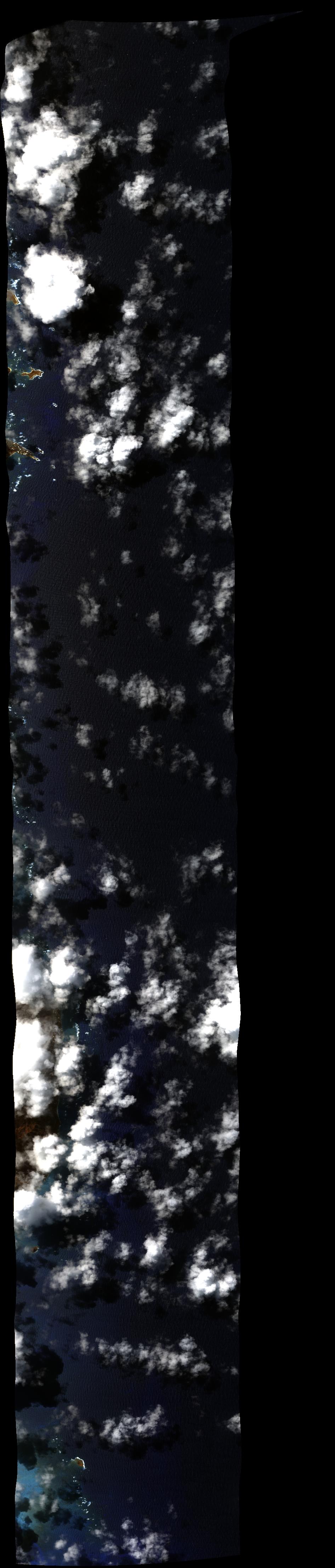
| 000725 | BUR to HNL_3, Open Water (orthocorrected) |
Hochberg | 0007 | 0110 | Alt = 43 kft SOG = 439 kts Clouds = Clear MCRS = 236 |
|||||
| 010711 | Kaneohe Bay 1_2 (orthocorrected) |
16M012 | Eric Hochberg | 21.266161 | -157.656787 | 21.72157751 | -157.939295 | 0107 | 0110 | S to N Alt = 28 kft SOG = 350 kts Clouds = Scattered/thin cirrus Missed 1st 25% of line due to turn MCRS = 320 |
| 012318 | Kaneohe Bay 1_2 (orthocorrected) |
16M012 | Eric Hochberg | 21.266161 | -157.656787 | 21.72157751 | -157.939295 | 0123 | 0128 | Alt = 28 kft SOG = 350 kts Clouds = 10-40% clouds over Kanahoe MCRS = 319 |
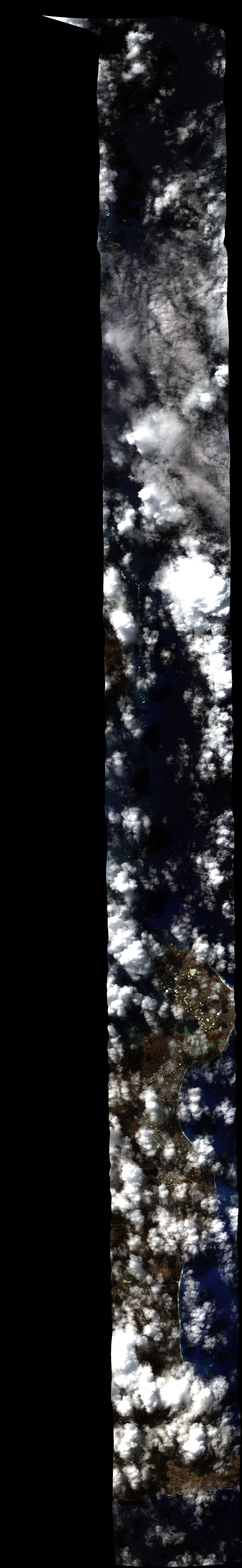
| 013600 | Kaneohe Bay 1_1 (orthocorrected) |
16M012 | Eric Hochberg | 21.717019 | -157.980995 | 21.397441 | -157.782062 | 0136 | 0139 | Alt = 28 kft SOG = 350 kts Clouds = 10-40% clouds over Kanahoe, thin cirrus MCRS = 139 |
| 014645 | Kaneohe Bay 1_2 (orthocorrected) |
16M012 | Eric Hochberg | 21.266161 | -157.656787 | 21.72157751 | -157.939295 | 0146 | 0152 | Alt = 28 kft SOG = 350 kts Clouds = 10-40% over Kanahoe, thin cirrus MCRS = 320 |
| 015817 | Kaneohe Bay 1_1 (orthocorrected) |
16M012 | Eric Hochberg | 21.717019 | -157.980995 | 21.397441 | -157.782062 | 0158 | 0202 | Alt = 28 kft SOG = 346 kts Clouds = Scattered 20-50% over Kanahoe, thin cirrus MCRS = 139 |